When
Where
Webinar Materials
NEON Webinar Chat Text
About the Webinar
Are you ready for the Bright Lights, Big Data? Researchers in Ecology and related fields who want to leverage NEON’s massive database with CyVerse’s powerful computing platform will definitely find big data under NEON's bright lights in this webinar. Presenters Bridget Hass and Donal O'Leary will offer a quick overview of the data and resources that NEON has to offer, then will highlight ways to use CyVerse to support the increased storage and computational demands required for analyzing NEON's larger datasets, such as remote sensing, genetic, and high-temporal-resolution instrument data (e.g., ‘eddy flux’ data).
What You'll Learn
- What NEON is
- What datasets and analysis resources NEON offers
- How to use CyVerse's storage and computational power to analyze NEON's larger datasets
Suggested Expertise Level
- Novice to Advance computational skills
- Interest in ecological and spatial data
About the Presenters
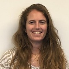
Bridget Hass has a background in Earth Science and Marine Geophysics, but transitioned to the remote sensing world when she started working at the NEON Airborne Observation Platform (AOP) in 2016. At NEON, she has helped develop, process, and perform quality control on the remote sensing data products, and also leads the calibration and field work for the AOP data collections. She enjoys teaching reproducible workflows and open-source fundamentals, and has developed Python based tutorials for working with the lidar, hyperspectral, and RGB camera data products, available on the NEON website.

Donal O'Leary is a Research Scientist and Data Science Educator for the National Environmental Observation Network (NEON) project. Like many research ecologists, Donal spent years gaining hands-on field experience working for the National Park Service as a trail crew leader and volunteer coordinator. Motivated to return to school by the emergence of GIS technology in conservation management, Donal earned his B.S. in Watershed Science with a minor in Spatial Information Management from Colorado State University, his M.S. in Geography from Western Washington University, and his PhD in Geographical Sciences from the University of Maryland. Over that time, Donal has taught numerous university courses in geography, environmental science, GIS, computer programming, and statistics, both in-person and online.
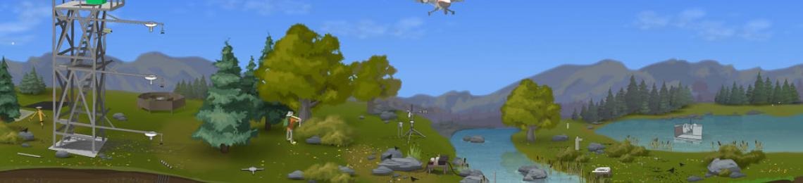
Banner image credit: NEON program, Battelle; used with permission.